Statewide

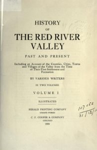
Red River Valley title page

Topography of the Red River Valley

By E. J. Babcock Dean, College of Mining Engineering, State University, North Dakota The topography of the Red River valley cannot be fully considered apart from that of the state as a whole, since the topography of the eastern part of the state blends into and forms a part of that of the central and western portion of the state. In common with most of the great prairie districts west of the Mississippi river, the Red River valley, and, indeed, North Dakota as a whole, presents no great extremes of altitude and no very marked feature of topography. Like a […]

Topography of the Red River Valley Read More »

Red River Valley title page

Geological History of the Red River Valley

By Warren Upham Secretary of the Minnesota Historical Society, Formerly Assistant on the Geological Surveys of New Hampshire, Minnesota, the United States, and Canada. Topographic Features The Red River of the North, so named to distinguish it from the Red river of Louisiana, flows through an exceedingly flat plain, which descends imperceptibly northward, as also from each side to its central line. Along the axial depression the river has cut a channel twenty to sixty feet deep. It is bordered by only few and narrow areas of bottomland, instead of which its banks usually rise steeply on one side, and

Geological History of the Red River Valley Read More »

Pin It on Pinterest

Scroll to Top